|
Saskatchewan Highway 7
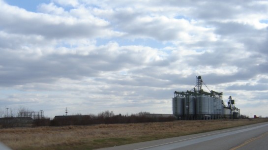
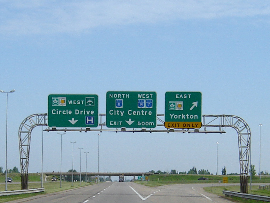
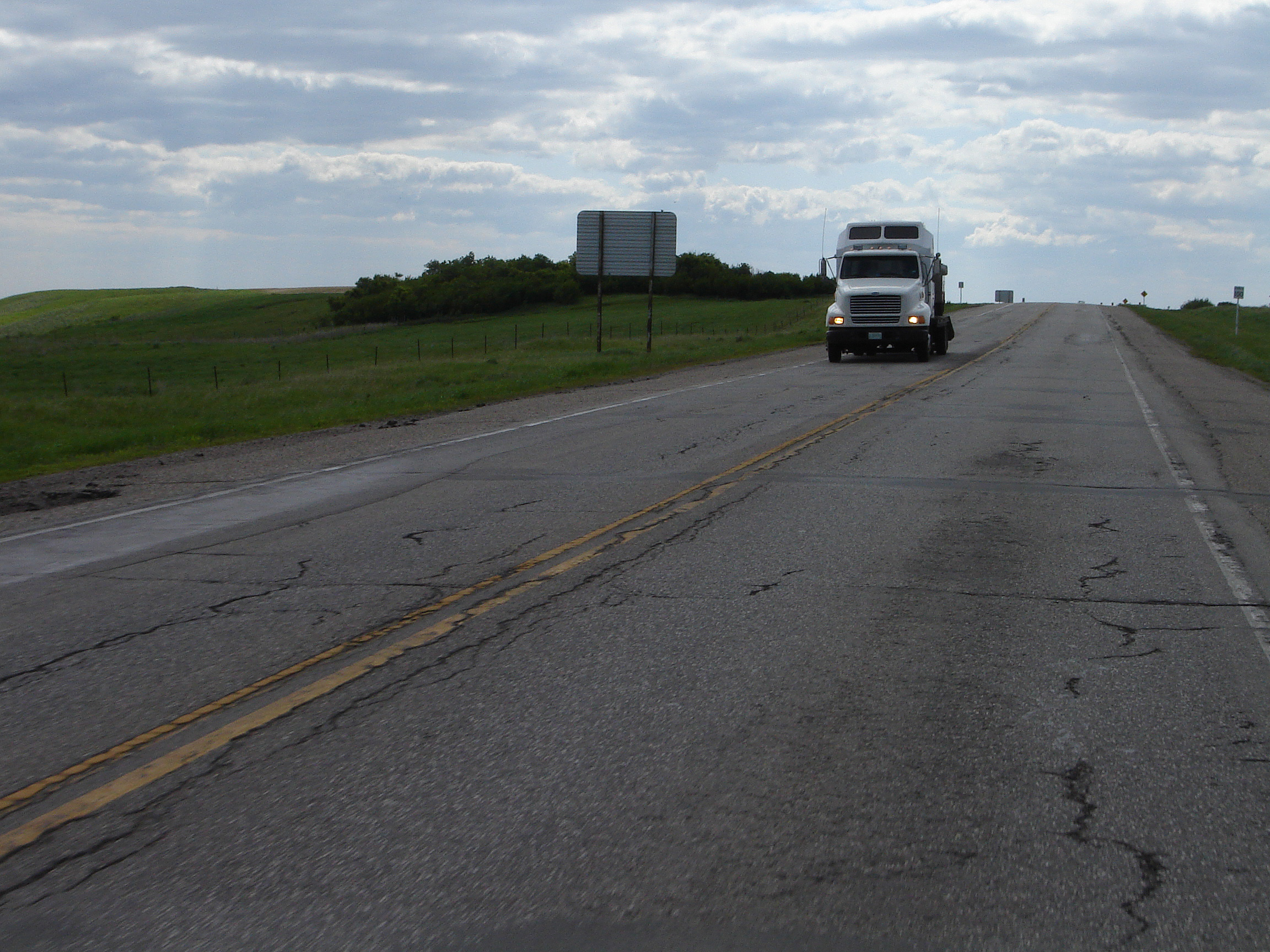
Saskatchewan Highway 7 is a major paved undivided provincial highway in the Canadian province of Saskatchewan, running from the Alberta border to Saskatoon. Highway 7 continues west into Alberta where it becomes Alberta Highway 9. Highway 7 is an important trade and travel route linking Saskatoon with several of its bedroom communities such as Delisle and Vanscoy, as well as larger centres farther afield such as Rosetown and Kindersley. Its primary use, however, is by travelers heading for Calgary, Alberta and the Canadian west coast. Despite being one of the most heavily used roads in the province, as of 2020, there is only approximately 36.5 km of the route that is divided highway; 34.5 km from Saskatoon to Delisle, including a recently completed bypass of Vanscoy, and 2 km just east of Rosetown at the Rosetown Airport and Cargill inland terminal. In 2020, the provincial government announced funding to install eight passing lanes east of Kindersley, as ... [...More Info...] [...Related Items...] OR: [Wikipedia] [Google] [Baidu] |
Ministry Of Highways And Infrastructure (Saskatchewan)
The Ministry of Highways is divided into the Operations, Policy and Programs, and Corporate Services Divisions and the Communications Branch. The ministry is the employer of over 1,476 employees diversified amongst 105 communities in Saskatchewan. The current Minister of Highways and Infrastructure is Fred Bradshaw. Operations Division The Operation Division has the responsibility of maintaining of asphalt concrete pavements, of granular pavements, of thin membrane surface (TMS) highways, of gravel highways, of ice roads, bridges, large culverts, 12 ferries, one barge and 17 northern airports. Operational maintenance includes surface repair activities like crack filling, sealing, and patching; snow and ice control; pavement marking; signing; and ferry operations. Along with engineering, construction and design of the provincial road network, the operations division provides regulations, inspections and advice to the rural municipalities (R.M.) for the municipal r ... [...More Info...] [...Related Items...] OR: [Wikipedia] [Google] [Baidu] |
Highway
A highway is any public or private road or other public way on land. It is used for major roads, but also includes other public roads and public tracks. In some areas of the United States, it is used as an equivalent term to controlled-access highway, or a translation for ''autobahn'', '' autoroute'', etc. According to Merriam Webster, the use of the term predates the 12th century. According to Etymonline, "high" is in the sense of "main". In North American and Australian English, major roads such as controlled-access highways or arterial roads are often state highways (Canada: provincial highways). Other roads may be designated "county highways" in the US and Ontario. These classifications refer to the level of government (state, provincial, county) that maintains the roadway. In British English, "highway" is primarily a legal term. Everyday use normally implies roads, while the legal use covers any route or path with a public right of access, including footpaths etc. Th ... [...More Info...] [...Related Items...] OR: [Wikipedia] [Google] [Baidu] |
Bethlehem High School (Saskatoon)
Bethlehem Catholic High School is a separate (Catholic) high school in Saskatoon, Saskatchewan, Canada, that opened in August 2007. It is located off 22nd Street West in the Blairmore Suburban Centre neighbourhood. Bethlehem serves students living on the west side of Circle Drive. This school integrates faith and learning in a facility featuring a chapel, two gymnasiums and a theatre. It is physically connected to the public high school Tommy Douglas Collegiate through the adjacent Shaw Centre recreation facility. Bethlehem was named after the birthplace of Jesus Christ, the foundation of the Christian religion. On June 7, 2009, a fire destroyed an addition containing portable classrooms still under construction. Damage was estimated at $750,000. The fire caused only minor damage to the existing building. The cause of the fire was determined to be arson Arson is the crime of willfully and deliberately setting fire to or charring property. Although the act of arson typi ... [...More Info...] [...Related Items...] OR: [Wikipedia] [Google] [Baidu] |
Blairmore SDA, Saskatoon
Blairmore Suburban Development Area (SDA) is an area in Saskatoon, Saskatchewan (Canada). It is a part of the west side community of Saskatoon. It lies (generally) north of the outskirts of the City and the Rural Municipality of Corman Park No. 344, west of downtown Saskatoon, and the Core Neighbourhoods SDA, south of the North West Industrial SDA, and west of the Confederation SDA. Most of the Blairmore SDA consists of undeveloped land annexed by the city in the mid-2000s. A total of nine neighbourhoods, primarily residential in nature, are ultimately planned for the SDA. As of late 2019, two are in the process of development: the commercial/residential Blairmore Suburban Centre and the residential community Kensington. A third residential area, Elk Point, is also in its early stages. Neighbourhoods * Blairmore Suburban Centre * Kensington, a residential community immediately north of the Suburban Centre, was approved in 2011, with construction beginning in 2013. ... [...More Info...] [...Related Items...] OR: [Wikipedia] [Google] [Baidu] |
Idylwyld Drive
Idylwyld Drive ( ) is an arterial road in Saskatoon, Saskatchewan. It is one of the main roads in and out of the downtown area of the city. On the south side of the Senator Sid Buckwold Bridge, it is a freeway and was initially designated as the Idylwyld Freeway (since 2013, the southern portion of the road has also been designated as Idylwyld Drive). It merges into Circle Drive at an interchange completed in 2013. At its north end the road divides into two highways, Highway 11 and Highway 12. The oldest section of Idylwyld Drive used to be known as Avenue A, the easternmost of the "lettered" north-south streets. In 1966, the Canadian National Railway tracks were relocated out of the downtown; the former railway bridge was demolished and replaced by a traffic bridge; and the former railroad right-of-way south of the river was made into the Idylwyld Freeway. The freeway crossed the river at the bridge and connected at 20th Street to Avenue A, renamed Idylwyld Drive. Two blocks ... [...More Info...] [...Related Items...] OR: [Wikipedia] [Google] [Baidu] |
Saskatchewan Highway 11
Highway 11 is a major north-south highway in Saskatchewan, Canada that connects the province's three largest cities: Regina, Saskatoon and Prince Albert. It is a structural pavement major arterial highway which is approximately long. It is also known as the Louis Riel Trail (LRT) after the 19th century Métis leader. It runs from Highway 1 (Trans-Canada Highway) in Regina until Highway 2 south of Prince Albert. Historically the southern portion between Regina and Saskatoon was Provincial Highway 11, and followed the Dominion Survey lines on the square, and the northern portion between Saskatoon and Prince Albert was Provincial Highway 12. From Regina to Saskatoon, Highway 11 is a four-lane divided highway except in the village of Chamberlain, where the road narrows to two lanes through the community, including its intersection with Highway 2 south to Moose Jaw. All intersections in this segment are at-grade except for two interchanges in the Lumsden valley and in Saskato ... [...More Info...] [...Related Items...] OR: [Wikipedia] [Google] [Baidu] |
Saskatchewan Highway 14
Highway 14 is a highway in the Canadian province of Saskatchewan. It runs from the Alberta border where it becomes Highway 13 to intersection of Circle Drive and 22nd Street in Saskatoon. It is approximately long. Prior to 1976, Highway 14 ran the width of the province, continuing east from Saskatoon to the Manitoba border where it transitioned to PTH 4. In 1970, the portion of Highway 14 east of Saskatoon was made part of the Yellowhead Highway along with the section of Highway 5 running west of Saskatoon. Six years later, in 1976, these two sections were re-designated as Highway 16 so that the Yellowhead Highway would carry one number through the four Western provinces (Manitoba would follow suit the next year, redesignating PTH 4 to PTH 16). Though Highway 14 is one of the three major highways leading from Saskatoon to Alberta, it is less used than Highway 7 or Highway 16 as the other highways provide direct access to Calgary and Edmonton respectively. Major communities ... [...More Info...] [...Related Items...] OR: [Wikipedia] [Google] [Baidu] |
Canadian Northern Railway
The Canadian Northern Railway (CNoR) was a historic Canadian transcontinental railway. At its 1923 merger into the Canadian National Railway , the CNoR owned a main line between Quebec City and Vancouver via Ottawa, Winnipeg, and Edmonton. Manitoba beginnings The network had its start in the independent branchlines that were being constructed in Manitoba in the 1880s and 1890s as a response to the monopoly exercised by Canadian Pacific Railway (CPR). Many such lines were built with the sponsorship of the provincial government, which sought to subsidize local competition to the federally subsidized CPR; however, significant competition was also provided by the encroaching Northern Pacific Railway (NPR) from the south. Two branchline contractors, Sir William Mackenzie and Sir Donald Mann, took control of the bankrupt Lake Manitoba Railway and Canal Company in January, 1896. The partners expanded their enterprise, in 1897, by building further north into Manitoba's Interlake distri ... [...More Info...] [...Related Items...] OR: [Wikipedia] [Google] [Baidu] |
Potash
Potash () includes various mined and manufactured salts that contain potassium in water-soluble form.Potash USGS 2008 Minerals Yearbook The name derives from ''pot ash'', plant ashes or soaked in water in a pot, the primary means of manufacturing potash before the . The word '''' is derived from ''potash''. Potash is produced worldwide in amounts exceeding 90 million |
Calgary
Calgary ( ) is the largest city in the western Canadian province of Alberta and the largest metro area of the three Prairie Provinces. As of 2021, the city proper had a population of 1,306,784 and a metropolitan population of 1,481,806, making it the third-largest city and fifth-largest metropolitan area in Canada. Calgary is situated at the confluence of the Bow River and the Elbow River in the south of the province, in the transitional area between the Rocky Mountain Foothills and the Canadian Prairies, about east of the front ranges of the Canadian Rockies, roughly south of the provincial capital of Edmonton and approximately north of the Canada–United States border. The city anchors the south end of the Statistics Canada-defined urban area, the Calgary–Edmonton Corridor. Calgary's economy includes activity in the energy, financial services, film and television, transportation and logistics, technology, manufacturing, aerospace, health and wellness, retail, and ... [...More Info...] [...Related Items...] OR: [Wikipedia] [Google] [Baidu] |
Vanscoy, Saskatchewan
Vanscoy ( 2016 population: ) is a village in the Canadian province of Saskatchewan within the Rural Municipality of Vanscoy No. 345 and Census Division No. 12. Vanscoy is located on Highway 7 near Highway 762 in central Saskatchewan, 29 km southwest of the City of Saskatoon. Rice Lake is to the west, Goose Lake is to the north, and Pike Lake and Pike Lake Provincial Park are to the east. One of the largest economic industries near Vanscoy is Agrium Vanscoy Potash Operations which produces 1,790,000 metric tonnes of potash a year. Community facilities include a circle hall, ice rink, curling rink and ball diamond. History Vanscoy incorporated as a village on June 17, 1919. Demographics In the 2021 Census of Population conducted by Statistics Canada, Vanscoy had a population of living in of its total private dwellings, a change of from its 2016 population of . With a land area of , it had a population density of in 2021. In the 2016 Census of Population, the V ... [...More Info...] [...Related Items...] OR: [Wikipedia] [Google] [Baidu] |
Bedroom Community
A commuter town is a populated area that is primarily residential rather than commercial or industrial. Routine travel from home to work and back is called commuting, which is where the term comes from. A commuter town may be called by many other terms: "bedroom community" (Canada and northeastern US), "bedroom town", "bedroom suburb" (US), "dormitory town", or "dormitory suburb" (Britain/ Commonwealth/Ireland). In Japan, a commuter town may be referred to by the ''wasei-eigo'' coinage . The term "exurb" was used from the 1950s, but since 2006, is generally used for areas beyond suburbs and specifically less densely built than the suburbs to which the exurbs' residents commute. Causes Often commuter towns form when workers in a region cannot afford to live where they work and must seek residency in another town with a lower cost of living. The late 20th century, the dot-com bubble and United States housing bubble drove housing costs in Californian metropolitan areas to hist ... [...More Info...] [...Related Items...] OR: [Wikipedia] [Google] [Baidu] |


.jpg)


